Environment Agency uncovers landscape with laser mapping
The Environment Agency has announced plans to map England’s entire landscape by 2020, using the data to assess flood risk and inform conservation work.
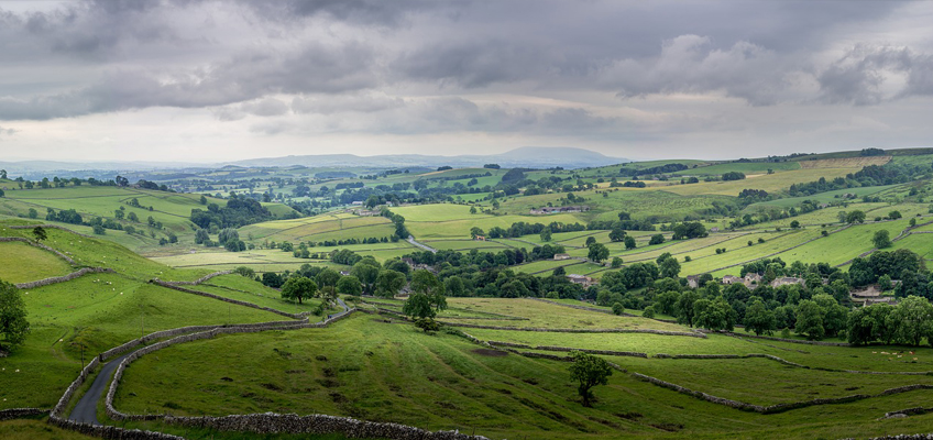
Using aircraft equipped with laser scanners, the Environment Agency will map all 130,000km2 of the country, including rivers, fields and national parks – equivalent to 32 million football pitches.
The new data will also be better quality than ever before, as the Environment Agency will map the whole country at 1m resolution by 2020. This means using the most up-to-date laser technology to reveal the features and details of the terrain more clearly.